Interactive Map Details
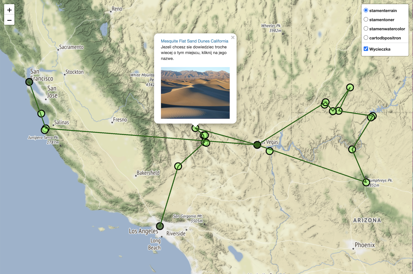
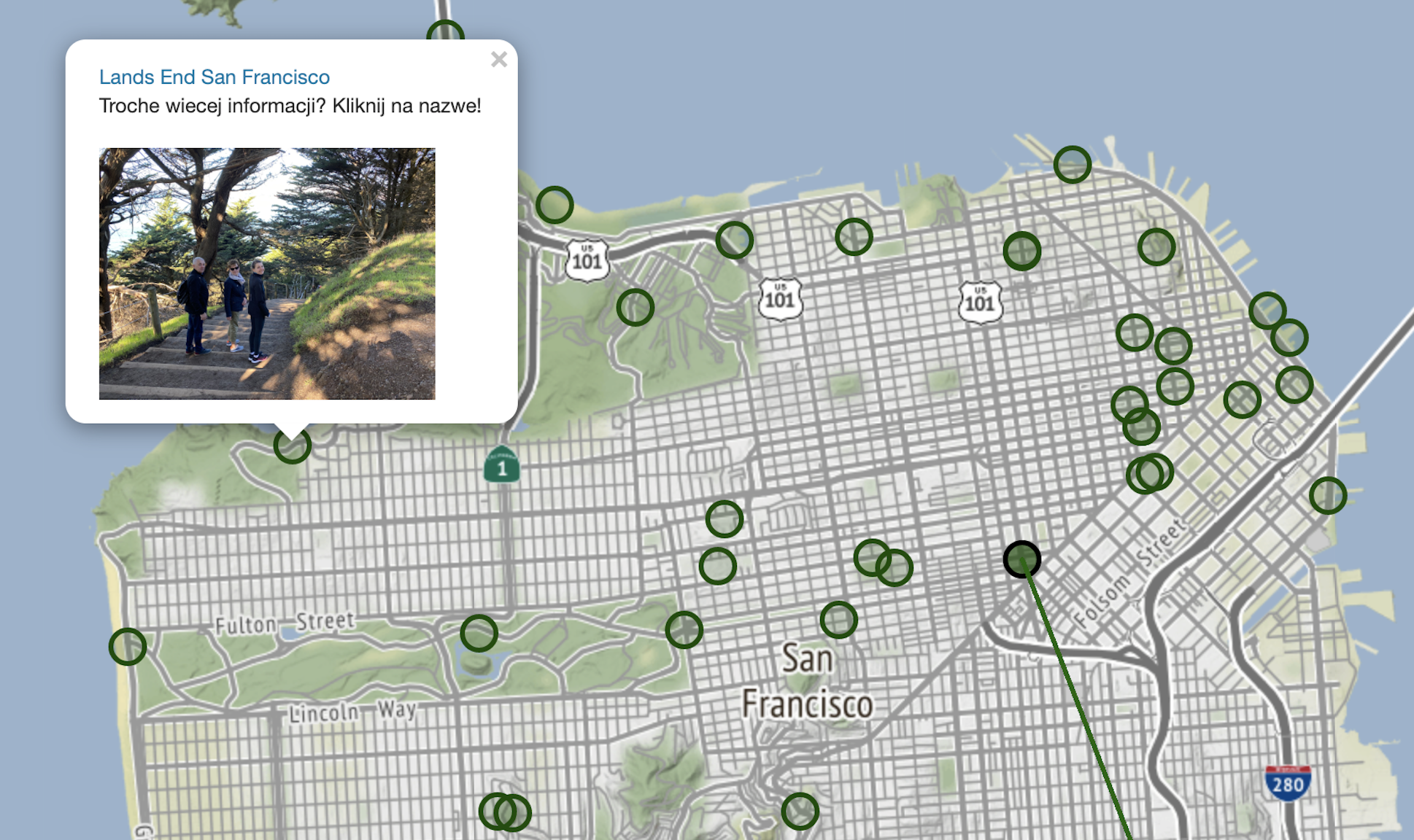
Inspiration for this application comes from my parents first trip to US. The program takes a civ file with names of the visited places, and converts them to a geolocation using arcgis library. Then, using folium it creates a map with multiple tile levels showing popups with a picture from the place, HTTML link to Wikipedia to learn more about the place. Also, some of them have link to the second layer of popups; for example, the general map has only one popup for San Francisco, but if the use wish to see particular places in the city, clicking on the link takes them to the second layer with additional pins in the city. You can play around with the map here!